
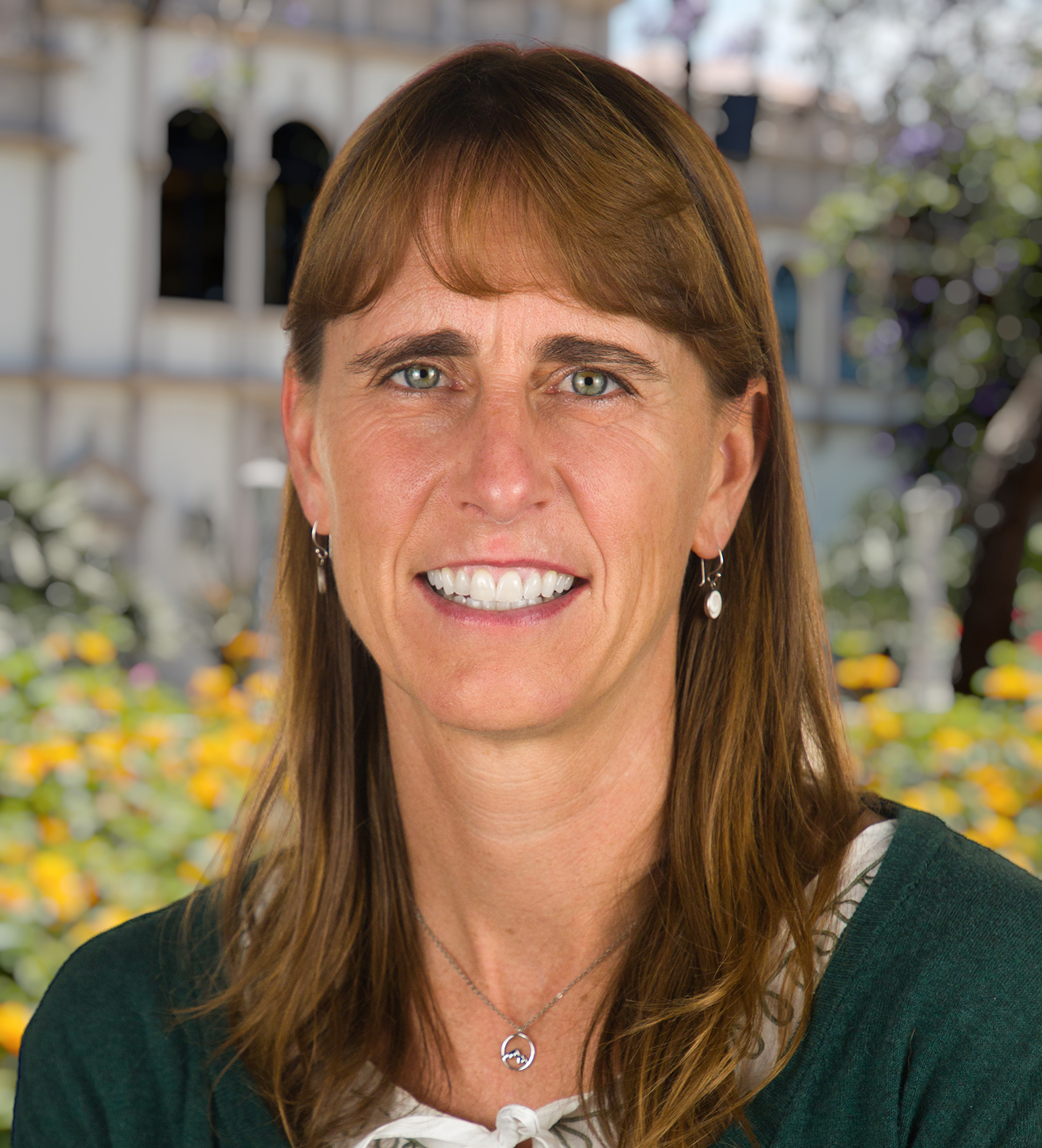
Professor of Environmental and Ocean Sciences
University of San Diego Faculty
Suzanné Walther, PhD, is a fluvial geomorphologist and broadly trained physical geographer. She teaches courses in natural disasters/physical geography, geomorphology, senior research synthesis and seminar for the capstone, and geospatial techniques such as geographic information systems (GIS). Her areas of expertise include fluvial geomorphology (river science), water resource management and applications of GIS.
Walther’s research focuses on the role of natural and human disturbances in shaping river systems. In the field, she uses GPS/GNSS and Uncrewed Aerial Vehicle (UAV) imagery collection as well as traditional field techniques. In the lab, research includes GIS, Structure from Motion (SfM), and sediment analysis. Walther has ongoing projects quantifying the geomorphic impacts of flash floods (Capitol Reef National Park and Anza Borrego Desert State Park). She also works on GIS and policy-based research with students that has included solving environmental problems in the greater San Diego-Tijuana region, and drought, water management, and social equity in Cape Town’s water crisis. Past projects include mapping and monitoring restoration recovery in Tecolote Canyon, mapping outreach and post-earthquake aid in Nepal, and investigating the impacts of sedimentation on coastal estuary systems (Tijuana and Los Peñasquitos). Walther welcomes undergraduates and MS students who are interested in research projects that involve geomorphology and/or GIS applications to answer questions related to environmental problems.